Welcome to our store!

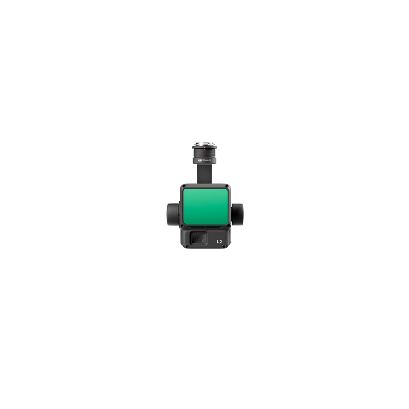
The Zenmuse L2 integrates LiDAR, a high-precision IMU system developed by DJI and a 4/3 RGB CMOS mapping camera, providing DJI flight platforms with more precise, efficient and reliable geospatial data acquisition. Used with DJI Terra, it provides a turnke
The Zenmuse L2 integrates LiDAR, a high-precision IMU system developed by DJI and a 4/3 RGB CMOS mapping camera, providing DJI flight platforms with more precise, efficient and reliable geospatial data acquisition. Used with DJI Terra, it provides a turnkey solution for high-precision 3D data collection and post-processing.
Reviews
There are no reviews yet.