Welcome to our store!

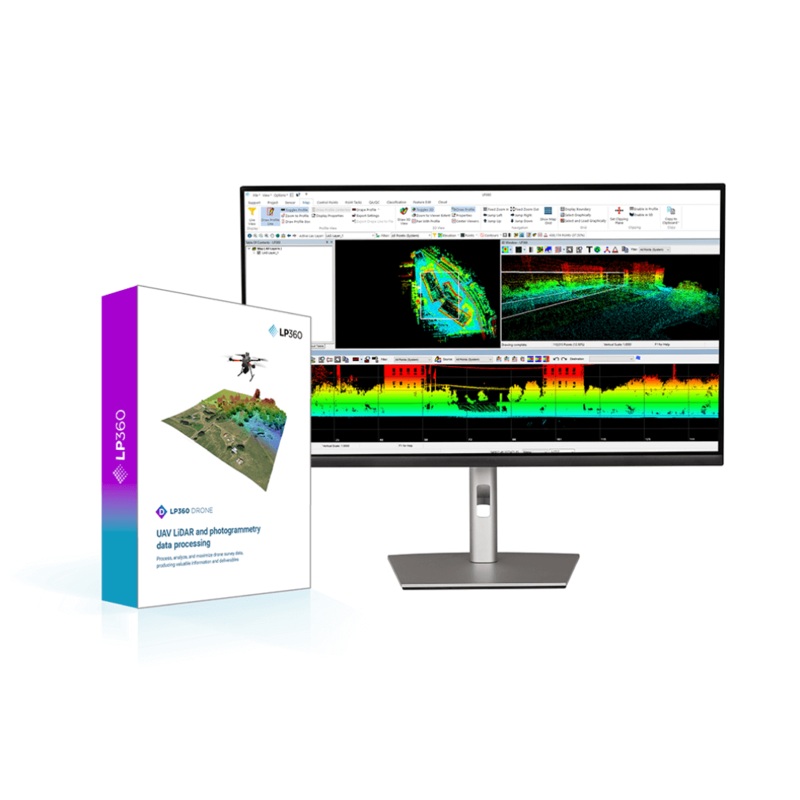
What is LP360 Drone?This is the core product for drone geospatial data workflow. Maximize your LiDAR and imagery data with visualization, QA/QC, classification, 3D editing, and analysis capabilities. It includes the features below.Intuitive workflowMulti-f
This is the core product for drone geospatial data workflow. Maximize your LiDAR and imagery data with visualization, QA/QC, classification, 3D editing, and analysis capabilities. It includes the features below.
Are you using the DJI Zenmuse L1 or L2 LiDAR and RGB solution to capture 3D data for aerial surveying? Then take that data to the next level with LP360 Drone LiDAR & photogrammetry 3D point cloud software. With LP360 Drone you can process, analyze, and maximize your L1 & L2 drone survey data, creating enhanced and highly accurate deliverables.
The fully integrated workflow of LP360 Drone lets you Fly, Optimize and Deliver fully processed data into actionable results.
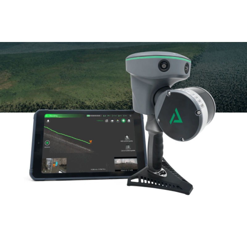
LP360 Drone’s DJI L1/L2 Cloud Batch Processing Add-On streamlines your DJI data processing workflow by allowing you to process L1/L2 raw LiDAR data directly in LP360 Drone, eliminating the need for DJI Terra. This consolidates all the steps into a single platform, making the transformation of raw LiDAR data into deliverables more efficient and user-friendly. By simplifying the process into five stepsproject creation and data import, trajectory and LiDAR processing, flight line creation, post-processing, and strip alignmentLP360 enhances productivity and reduces workflow complexity for surveying professionals.


Reviews
There are no reviews yet.