Welcome to our store!

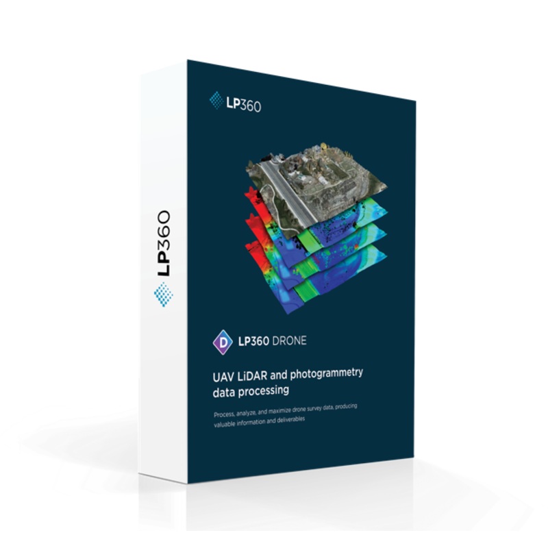
REQUIRES LP360 Drone Perpetual LicenseThe LP360 Software Maintenance Package offers a complete geospatial workflow for LiDAR and imagery data processing, including advanced tools for visualization, QA/QC, classification, 3D editing, and analysis. Its strea
REQUIRES LP360 Drone Perpetual License
The LP360 Software Maintenance Package offers a complete geospatial workflow for LiDAR and imagery data processing, including advanced tools for visualization, QA/QC, classification, 3D editing, and analysis. Its streamlined, intuitive GUI features customizable ribbons and toolbars to optimize individual workflows, along with multi-flight data import and integration of other geospatial layers via a GIS interface.
Key benefits include:
Enhanced user experience with synchronized map windows and smart detail management
Full support for multiple LiDAR platforms (DJI, Riegl, YellowScan, etc.)
Backward-compatible LPLAS format for high-performance point cloud visualization
Expanded export options including LANDXML for CAD integration
Ideal for UAV, airborne, or mobile LiDAR operations, LP360 ensures efficient data processing and superior deliverables in one cohesive system.


Reviews
There are no reviews yet.