Welcome to our store!

The LiAir H800 is a next-generation LiDAR system for mid- and long-range UAVs developed by GreenValley International. It integrates lightweight LiDAR, an in-house developed inertial navigation system, and an integrated high-resolution mapping camera, combi
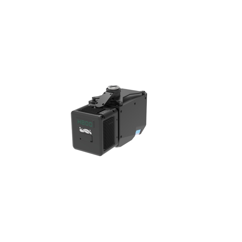
The LiAir H800 is a next-generation LiDAR system for mid- and long-range UAVs developed by GreenValley International. It integrates lightweight LiDAR, an in-house developed inertial navigation system, and an integrated high-resolution mapping camera, combining the advantages of lightweight and long-range capabilities. With the support of GreenValley App flight control software and LiGeoreference data processing software, it offers more efficient all-in-one solutions for power line inspection, forest monitoring, disaster assessment tasks. emergency, and more.


Reviews
There are no reviews yet.