Welcome to our store!

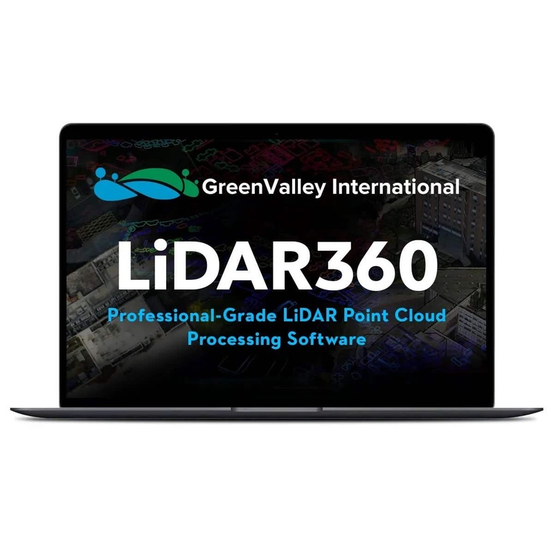
Revolutionize your LiDAR workflow with LiDAR360 Point Cloud Processing SoftwareLiDAR360, launched in 2013 by GreenValley International, is a world-class point cloud processing platform designed to tackle the challenges of massive point cloud data.Leveragin
LiDAR360, launched in 2013 by GreenValley International, is a world-class point cloud processing platform designed to tackle the challenges of massive point cloud data.
Leveraging over ten types of leading international algorithms,artificial intelligence, and machine learning, LiDAR360 empowers users across industries to solve complex problems,unlock the full potential of their data, and drive innovation.
LiDAR360’s comprehensive toolset and advanced algorithms are tailored to meet the specific needs of a wide range of industries:
Topographic mapping:Generate accurate digital terrain models (DTMs) and elevation maps for engineering, construction, and environmental planning.
Forestry surveying:Extract key forest parameters from LiDAR point clouds, including canopy density, clearance rate, individual tree height,diameter, crown width, and trunk volume. Conduct intelligent statistical analysis to aid sample plot surveys, carbon sink detection, and more, significantly enhancing forest resource assessment.
Powerline inspection and analysis:Identify vegetation encroachment, detect structural anomalies, and ensure the safety and reliability of powerline infrastructure.
Geological nalysis:Map geological formations, analyze slopes and landslides, and identify potential hazards for mining and construction projects.
Mine surveying:Optimize mine planning, monitor excavation progress, and calculate volumes with precise measurements and 3D models.
3D building:Intelligently classify and segment massive point clouds into ground, vegetation, buildings, and other features. Employ advanced algorithms to create detailed 3D models of urban environments for construction, planning, and visualization.
This is just a glimpse of LiDAR360’s vast potential. Whether you’re in construction, agriculture, or environmental management, the software can adapt to your unique challenges and unlock valuable insights from your point cloud data.
With over 100,000 downloads and active use in more than 130 countries, LiDAR360 is a trusted solution for clients,contractors, governments, and research institutions worldwide.
It’s a testament to the software’s versatility, ease of use,and ability to deliver results.
LiDAR360 is more than just software; it’s a comprehensive platform designed to revolutionize the way you work with point cloud data.
Experience the future of LiDAR processing, explore the endless possibilities of your data, and discover how this processing platform can transform your projects.


Reviews
There are no reviews yet.