Welcome to our store!

This item is an Evaluation Unit, which is lightly used and has been a display unit at our retail store. The device has been used by our demo team for field demonstrations. The equipment has completed a quality check and is fully operational in good conditi
This item is an Evaluation Unit, which is lightly used and has been a display unit at our retail store. The device has been used by our demo team for field demonstrations. The equipment has completed a quality check and is fully operational in good condition. This item does qualify for our standard return policy, provided it is returned unused in the same condition it was shipped. Equipment is sold as is and may have missing caps, parts, or accessories.
Please see the images. The item pictures are the actual inventory items being sold as pictured; all accessories included in the unit will be pictured. Original packaging and documents will likely not be included.
———————————————————————————-
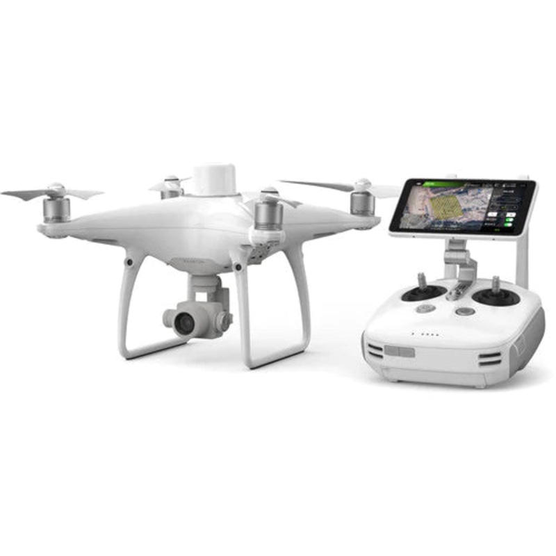
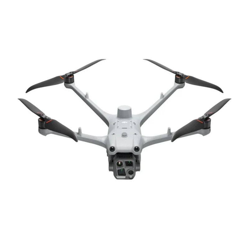
| Phantom 4 RTK | Aircraft | 1 | No controller |
| Batteries | 8 | ||
| Phantom 4 Battery Charging Hub | 2 | ||
| WB37 charging hub | 1 | (Not Pictured but included) | |
| DRTK2 base station | 1 | No tripod |
———————————————————————————-
DJI Phantom 4 RTK SE Combo + D-RTK 2 Base Station with GPC Hard Case Turnkey Precision for Professional Surveyors
Unlock unmatched accuracy and efficiency with the DJI Phantom 4 RTK SE Combo paired with the DJI D-RTK 2 Mobile Station, all protected in a rugged GPC hard case. This all-in-one aerial mapping solution delivers survey-grade results right out of the boxideal for land surveyors, engineers, construction managers, and GIS professionals who demand field-ready performance and data you can trust.
Survey-Grade Accuracy Centimeter-level positioning data with enhanced GNSS multi-band support (GPS, GLONASS, Galileo, BeiDou).
Integrated TimeSync System Ensures consistent data alignment between camera, flight controller, and RTK module.
Durable, All-Terrain Transport The GPC case is waterproof, impact-resistant, and includes wheels and a telescoping handle for easy mobility on and off the site.
Quick Deployment Get up and running in minutes with seamless compatibility between drone, base station, and flight planning software like DJI GS RTK and third-party tools like DroneDeploy or Pix4D.
Topographic & Cadastral Surveying
Precision Construction Monitoring
Infrastructure & Utility Mapping
Agriculture & Environmental Analysis
Mining & Volume Calculations
With the DJI Phantom 4 RTK SE + D-RTK 2 Combo, youre not just investing in a droneyoure investing in a complete aerial surveying ecosystem designed for speed, accuracy, and durability.
Reviews
There are no reviews yet.