Welcome to our store!

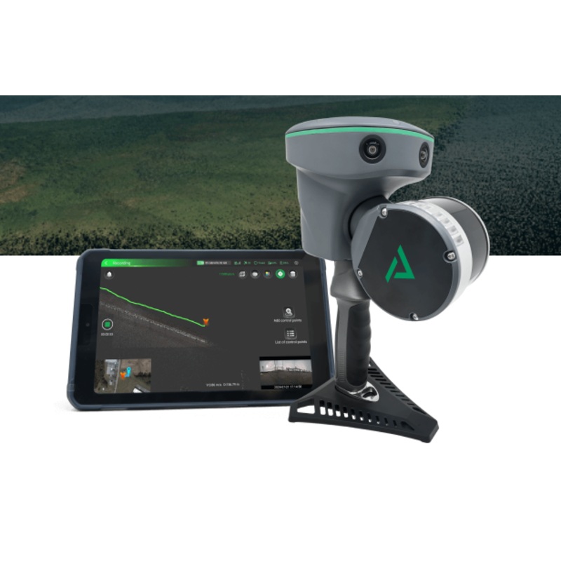
WithDJI Terra Electricity Mapping Softwareand a compatible Phantom 4 drone, you can fly detailed aerial missions over specific areas, creating digital representations of what you see in 2D and 3D models. You can then process those images to help you in a v
WithDJI Terra Electricity Mapping Softwareand a compatible Phantom 4 drone, you can fly detailed aerial missions over specific areas, creating digital representations of what you see in 2D and 3D models. You can then process those images to help you in a variety of industrial and professional applications such as construction, infrastructure, or agriculture. This version of Terra adds the ability to map power lines and electrical structures for energy industry applications.
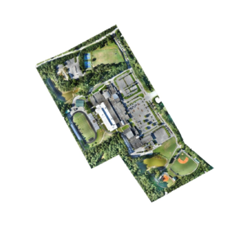
With Terra’s analysis capabilities, you can acquire essential data on the structures and areas you’ve captured. Measure dimensions, distance, and more. You can even create annotation labels on your images to better communicate data with multiple teams or track them over time.
*Annual Pricing
Make the World Your Digital Asset
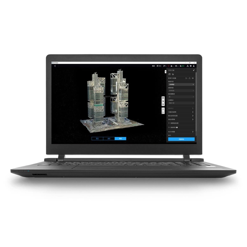
Capture, analyze and visualize your environment with DJI Terra an easy to use mapping software developed to help industry professionals transform real-world scenarios into digital assets.
Automatic Flight Planning and Data Capture
DJI Terra helps commercial drone pilots quickly plan automated flights with several easy-to-use options based on the area or objects theyd like to capture and the type of map or 3D model theyd like to create. It features three mission planning types:
Real-time Mapping and Detailed 3D Models
Easy Data Analysis
Which aircraft are supported by DJI Terra?
Phantom 4 RTK (Remote Controller), Phantom 4 Pro V2.0, Phantom 4 Pro+ V2.0, Phantom 4 Pro, Phantom 4 Advanced and Phantom 4. The Phantom 4 does not support 2D Real-time Mapping.


Reviews
There are no reviews yet.