Welcome to our store!

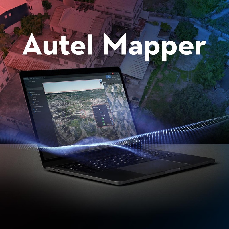
Precision mapping and efficient data collection with Autel MapperAutel Robotics is renowned for its high-quality drones and innovative software solutions tailored to professional and enthusiast drone operators alike. Among its standout offerings, Autel Map
Autel Robotics is renowned for its high-quality drones and innovative software solutions tailored to professional and enthusiast drone operators alike. Among its standout offerings, Autel Mapper shines as a premier tool for precision mapping and efficient data collection, designed to enhance the capabilities of Autel drones in various fields such as surveying, construction, agriculture, and more.
Autel Mapper is a powerful software application that integrates seamlessly with Autel drones to provide advanced mapping and data analysis capabilities. It’s engineered to facilitate the creation of detailed, accurate maps and 3D models from drone-captured imagery, enabling professionals to gather critical data with precision and efficiency. Heres what Autel Mapper brings to your operations:
Autel Mapper is versatile enough to serve a multitude of industries, offering tailored solutions that meet specific operational requirements:
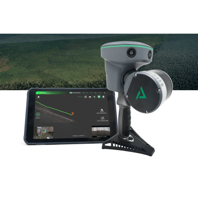
Autel Mapper is designed to work with a range of Autel drones, ensuring broad compatibility and maximizing the utility of Autel’s advanced aerial platforms. Compatible drones include:
This compatibility ensures that users can leverage Autel Mapper’s powerful features, regardless of the Autel drone model they operate, providing flexibility and high performance across the board.
Selecting Autel Mapper through guarantees access to one of the most sophisticated mapping and data collection tools available for drones today. Our expertise in drone technology enables us to provide unparalleled support and guidance, ensuring that you can make the most of Autel Mapper’s capabilities. Whether you’re tackling complex surveying tasks, managing agricultural operations, or conducting environmental assessments, Autel Mapper and together offer a powerful solution for your needs.
With Autel Mapper and , transform your drone into a powerful tool for precision mapping and efficient data collection. Embrace the capabilities of Autel’s advanced software to elevate your projects, making informed decisions based on accurate, up-to-date aerial data. Visit today to explore how Autel Mapper can revolutionize your data collection and mapping processes, driving efficiency and accuracy in all your operations.

Reviews
There are no reviews yet.