Welcome to our store!

This item is an Evaluation Unit, which is lightly used and has been a display unit at our retail store. The device has been used by our demo team for field demonstrations. The equipment has completed a quality check and is fully operational in good conditi
This item is an Evaluation Unit, which is lightly used and has been a display unit at our retail store. The device has been used by our demo team for field demonstrations. The equipment has completed a quality check and is fully operational in good condition. This item does qualify for our standard return policy, provided it is returned unused in the same condition it was shipped. Equipment is sold as is and may have missing caps, parts, or accessories.
Please see the images. The item pictures are the actual inventory items being sold as pictured; all accessories included in the unit will be pictured. Original packaging and documents will likely not be included.
———————————————————————————-
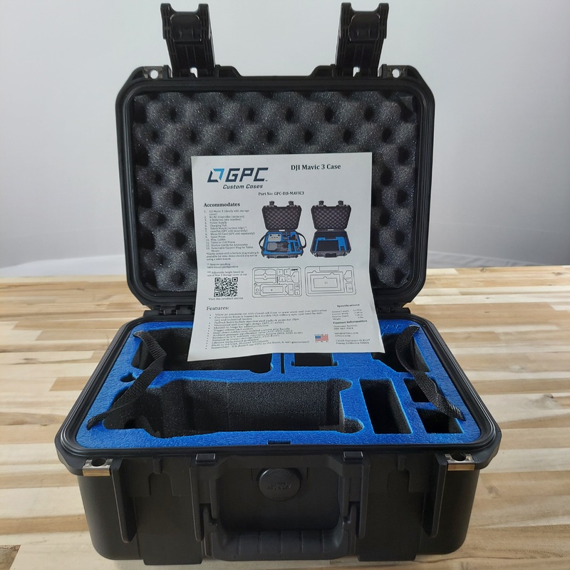
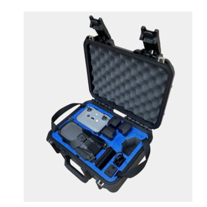
| BLK 2 Fly | Battery | 4 |
| Aircraft | 1 |
———————————————————————————-
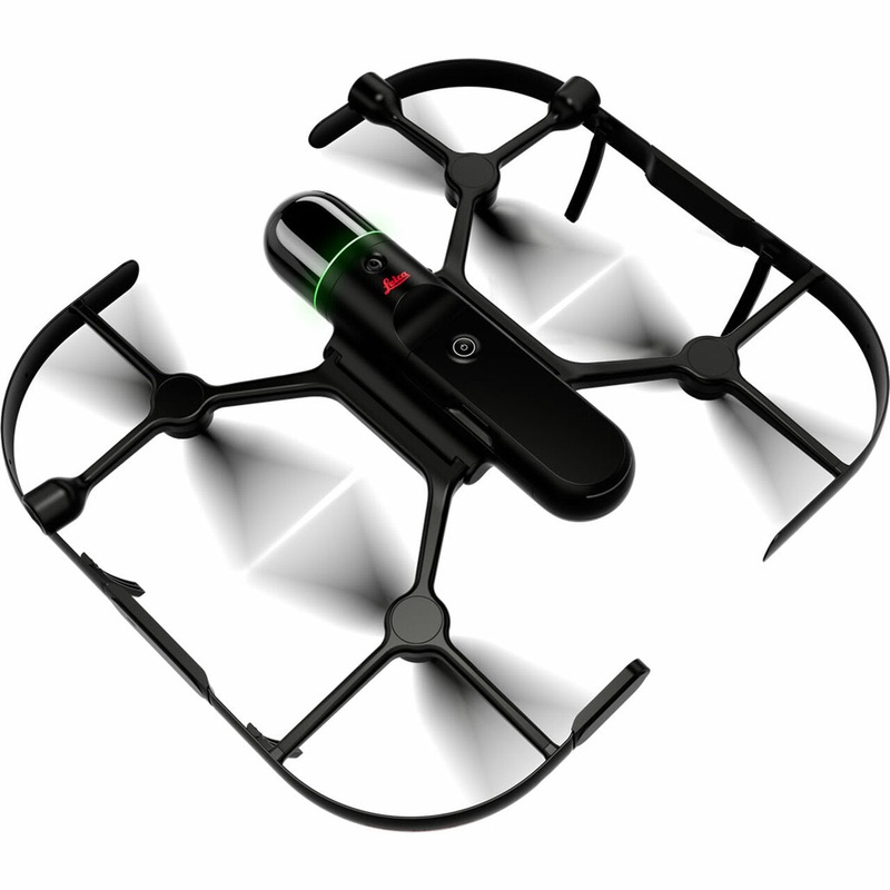
Leica BLK2FLY Autonomous Flying Laser Scanner
Call for pricing.
The Leica BLK2FLY is an autonomous flying laser scanner with advanced obstacle avoidance for easy reality capture from the sky. It captures building exteriors, structures, and environments to create 3D point clouds while flying.
The BLK2FLY is designed to be easy-to-use: with a few simple taps on a tablet, users can set the BLK2FLY aloft to autonomously scan building exteriors and features, such as hard-to-access areas like rooftops and facades.
Deploying the device itself is as easy as unfolding it, switching it on with the press of a button and placing it on the ground, ready for takeoff.
BLK2FLY autonomous flying laser scanner
Users control the BLK2FLY through the BLK2FLY Live App on a tablet for simplified, app-based flying with no need for prior UAV experience. This allows for easy, intuitive control of the BLK2FLY, including live camera feed.
You can select an area within the map on your tablet and the BLK2FLY will create its own flight path to scan it quickly and safely.
You can also tap-to-scan: simply send the BLK2FLY to scan a new area by tapping anywhere on the 3D view in the app.
The BLK2FLY Live App also allows you to pilot the BLK2FLY manually with virtual joysticks on your tablet. This critical safety feature always keeps you in control. And for connectivity, the BLK2FLY includes WLAN and LTE communication channels to the tablet for nearly unlimited communication range during flight.
The BLK2FLY intelligently incorporates the environment around it into its flight plans. It keeps the correct distance for ideal scanning and formulates optimized flight routes for return to home.
The enclosed, full dome laser scanner onboard the BLK2FLY captures 3D point clouds in all directions.
BLK2FLY takes GrandSLAM technology even further. LiDAR SLAM, Visual SLAM, radar, and GNSS make the BLK2FLY fully autonomous, easy to use, and able to fly safely and accurately on its own.
BLK2FLY uses omnidirectional radar and LiDAR to avoid obstacles for accurate, uninterrupted, and safe scanning.
The hot swap battery system keeps you flying. The BLK2FLY will return to you during the scan for new batteries and then continue along its mission.
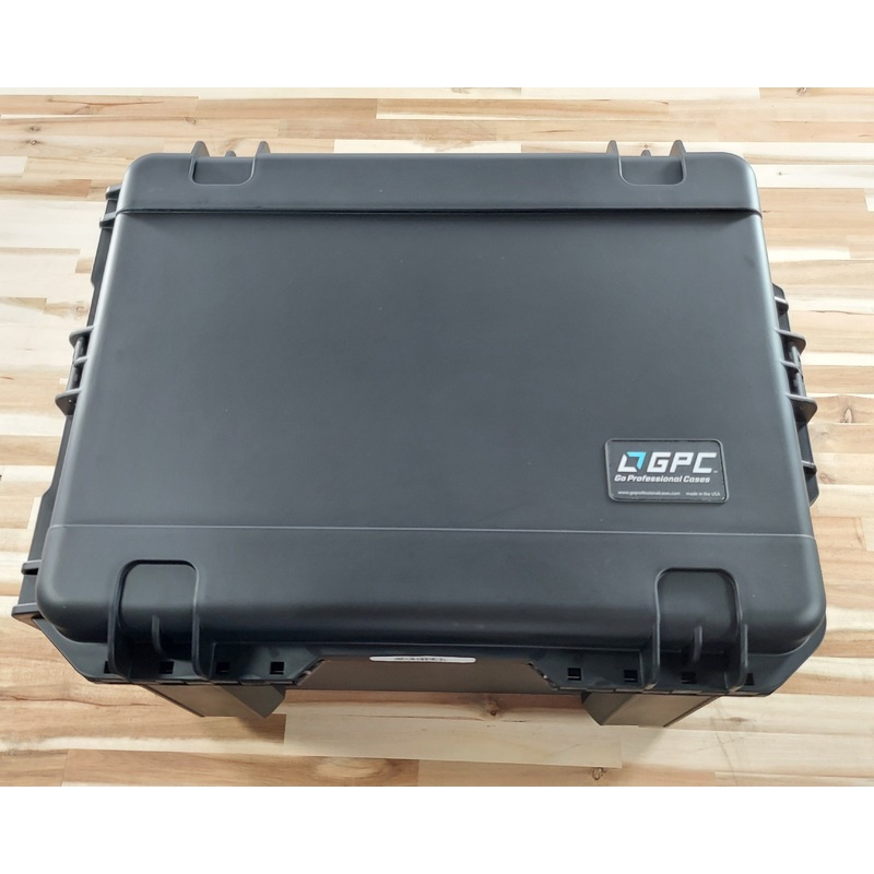
BLK2FLY is lightweight (2.6kg) and easily folds into a transportation case with all accessories.
The BLK2FLY makes it easy to get your data into your preferred software and to share your scans with others. It also works seamlessly with other Leica Geosystems sensors and software.
Directly upload your data to HxDR with automatic conversion to OBJ and cloud-based visualization.
You can also allow others to access and work with your data, including data download, via HxDR.
Transfer your data to Leica Cyclone REGISTER 360 with USB-C or WLAN for scan-to-BIM workflows.
The BLK2FLY is changing UAV and laser scanning workflows across multiple industries worldwide.
BLK2FLY helps you easily document your construction progress, every step of the way, by saving time, gaining accuracy, and achieving better LiDAR coverage with an autonomous UAV scanning workflow.
BLK2FLY will autonomously scan the entire exterior of a building from the air with high degrees of accuracy to gather BIM data, and it only requires minimal training to operate.
Easily document as-built conditions for retrofits and redesigns with the BLK2FLY, which offers an autonomous yet simple method for drone-based reality capture.
The BLK2FLY integrates all UAV systems including LiDAR and Visual SLAM, radar, and GNSS with the ability to autonomously scanand its a portable, easy to use device.

Reviews
There are no reviews yet.